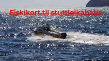
Ger tíni egnu fiskikort við Raymarine Axiom.
13. Feb 2024
Ger tíni egnu fiskikort við Raymarine Axiom.
Her er ein video sum bleiv gjørd við einum Raymarine Axiom plottari við inn bygdum ekkóloddi og side scan.
Ger tíni egnu fiskikort við Raymarine Axiom.
Her er ein video sum bleiv gjørd við einum Raymarine Axiom plottari við inn bygdum ekkóloddi og side scan.
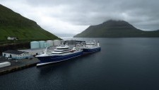
Norðborg og Christian í Grótinum eisini Starlink Internet frá Vikmar.
Steintór fingið Starlink Internet frá Vikmar.
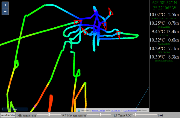
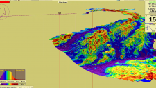
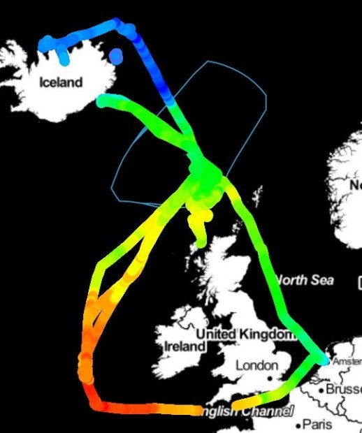
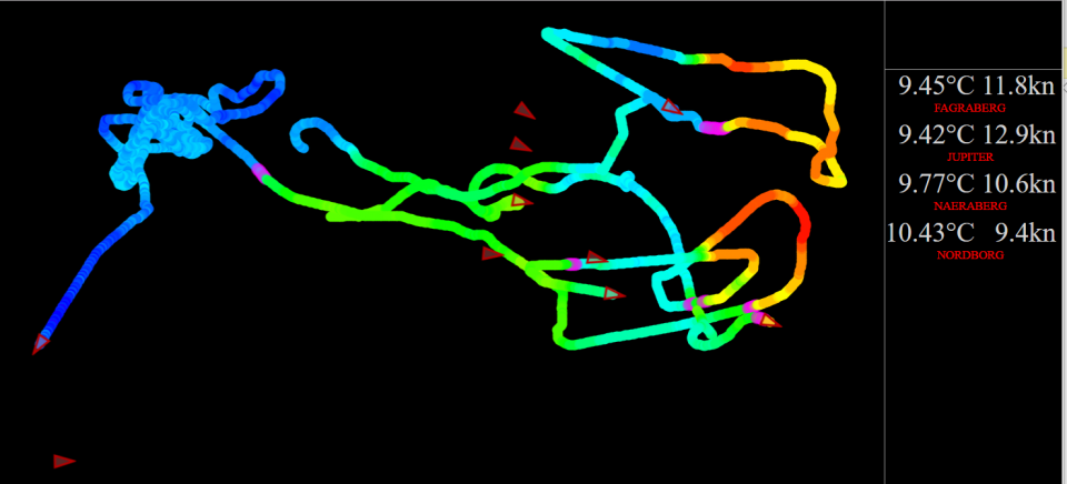
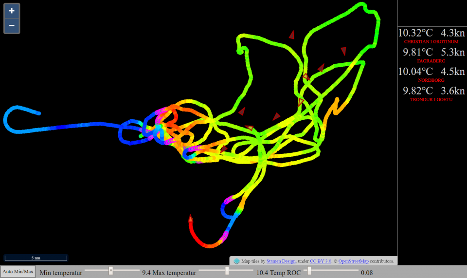
Until today, fishing vessels have been using satellites for mapping the ocean surface temperature
VikHub is the first LIVE temperature mapping system for fishing vessels!
Many fish species follow the ocean temperature.
VikHub is mapping the ocean temperature with live data from fishing vessels.
VikHub is not only mapping the temperature on the surface.
VikHub is also mapping the temperatur close to the bottom!
Contact Vikmar to learn more about VikHub for surface & bottom temperature mapping


|
Vikmar | Tel. 612182 | Fax 35 2183 | info@vikmar.fo
|


|