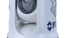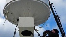
Økt navigatiónstrygd: FLIR ClearCruise™
10. Jul 2017
Økt navigatiónstrygd: FLIR ClearCruise™
Sjúðrarberg velur eisini Marport.Í mars mánaða fekk Sjúðrarberg Marport útgerð installerað.Hetta umfataði Marport Scala brúgva eind og móttakara.Lemma sensorar við vinkul funktión og Marport trol eygu.Og nú 15 mai, hava teir longu sett kós heim, eftir næsta túri, so ikki kann sigast anna enn, at...
Gullaksa tíðin byrjar nú :-)
Her eru nakrar myndir frá Skorðaberg tá teir fiskaðu Gullaks við Marport í fjør.
Tekstur undur myndinum sigur hvørjir Marport sensorar teir brúka.
Until today, fishing vessels have been using satellites for mapping the ocean surface temperature
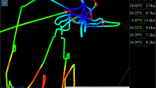
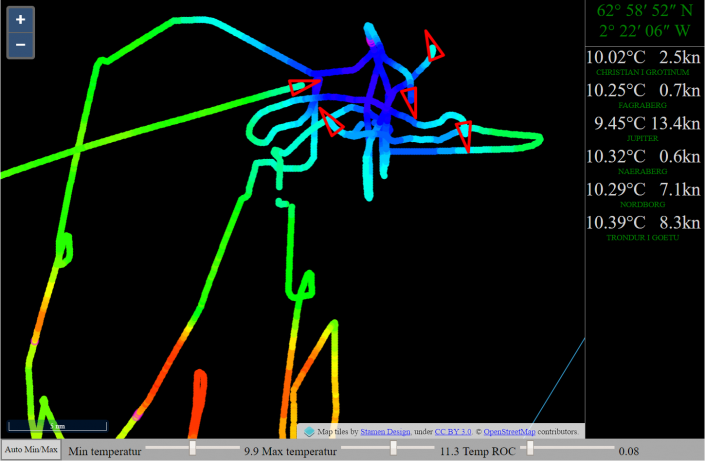
VikHub is the first LIVE temperature mapping system for fishing vessels!
Many fish species follow the ocean temperature.
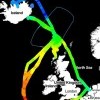
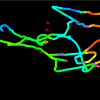
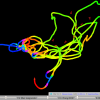
VikHub is mapping the ocean temperature with live data from fishing vessels.
VikHub is not only mapping the temperature on the surface.
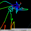
VikHub is also mapping the temperatur close to the bottom!
Contact Vikmar to learn more about VikHub for surface & bottom temperature mapping