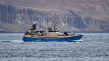
Jólagávuhugskot til frítíðarsiglaran og útróðrarmannin
20. Des 2021
5 Jólagávuhugskot til frítíðarsiglaran og útróðrarmannin
5 Jólagávuhugskot til frítíðarsiglaran og útróðrarmannin
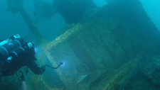
Í Juni 2018 fann Vikmar eXplorer vraki av Kallsevni TN-340.Vraki liggur eystur úr Mjóvanes á 54m dýpi.Nakrar dagar eftir at vraki var funni, kavaði Ragnar við Streym niður á vraki, sýni var ikki av tí besta tá.Í summar var so aftur kava niður á Kallsevni,...

Vikmar avdúkar landslag á botni ið ikki er sætt áður.
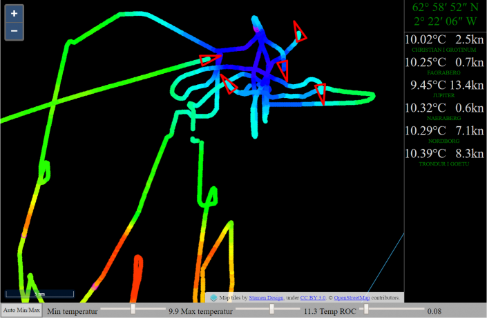
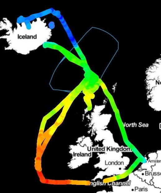
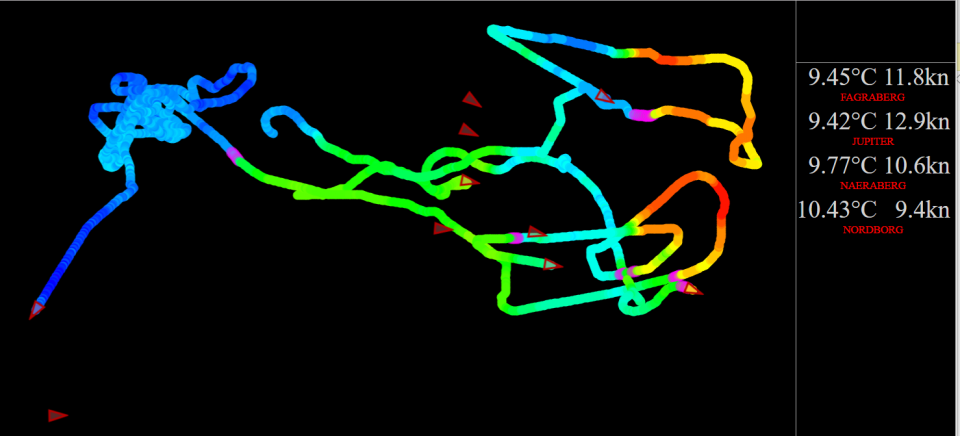
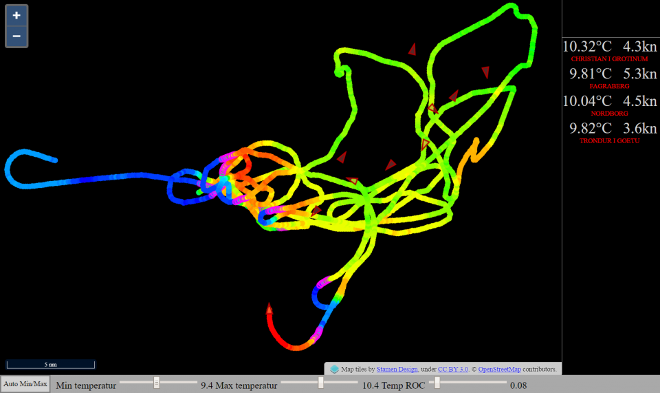
Until today, fishing vessels have been using satellites for mapping the ocean surface temperature
VikHub is the first LIVE temperature mapping system for fishing vessels!
Many fish species follow the ocean temperature.
VikHub is mapping the ocean temperature with live data from fishing vessels.
VikHub is not only mapping the temperature on the surface.
VikHub is also mapping the temperatur close to the bottom!
Contact Vikmar to learn more about VikHub for surface & bottom temperature mapping


|
Vikmar | Tel. 612182 | Fax 35 2183 | info@vikmar.fo
|


|